GIS and Spatial Analysis
Tools and methods for the management and analysis of geographic information
Delivering accurate and up-to-date services revolves around knowing where people and resources reside. Solving spatial problems requires human expertise, access to relevant information, necessary infrastructure, analysis techniques and appropriate communication and delivery mechanisms. GIS and Spatial Analysis skill sets are crucial for today's society and have many uses ranging from emergency management and other city services, business location and retail analysis, transportation modeling, crime and disease mapping, and natural resource management. In addition, decisions that are made utilizing GIS and spatial analysis have important social implications for the people affected by them.
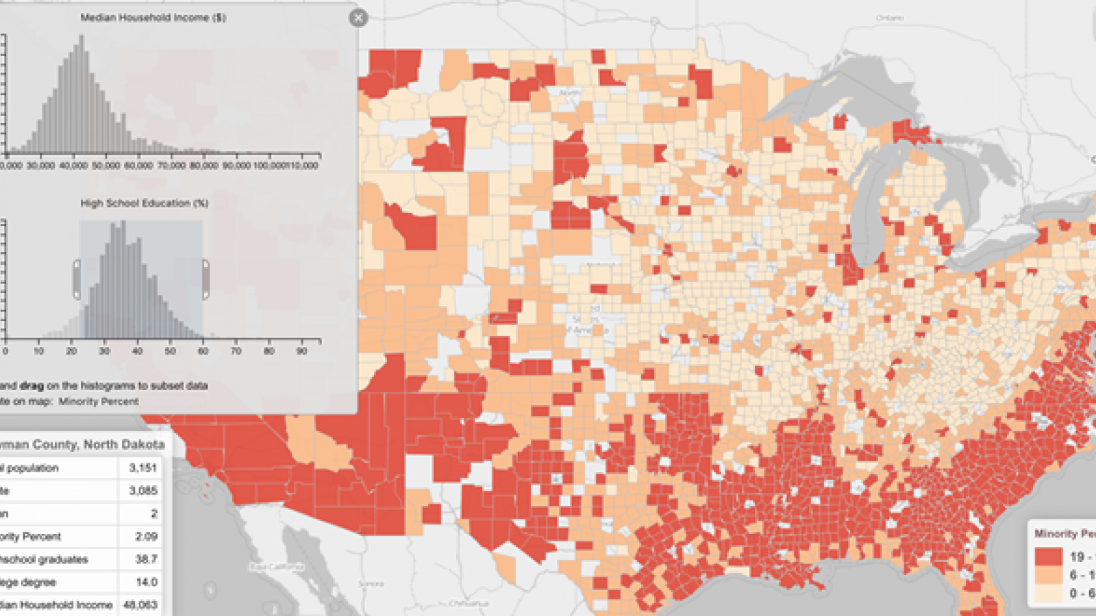
Learning the tools and methods for the management and analysis of geographic information is the core of GIS and Spatial Analysis (GIS-SA) in Geography at Ohio State. Substantive areas include computer and web-enabled mapping, exploratory spatial data analysis and spatial statistics, spatial decision support, spatial database fundamentals, and societal aspects of GIS.
Students in this specialization will receive extensive exposure to GIS and Spatial Analysis software. Hands-on experience in questions of interest to the student is an important part of the curriculum.

