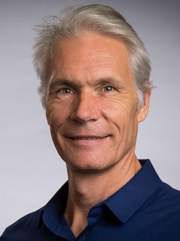
Ola Ahlqvist

Contact Information
Professor, Associate Vice Provost, OAE
Areas of Expertise
- Cartography
- Land Cover Change
- GIS
- Online Maps
Education
- Ph.D., 2001 Geography, Stockholm University Sweden
- B.S., 1990 Biology and Earth Science, Stockholm University Sweden
Current CV: Download (PDF)
Interests: GIS, Land Cover Change, Online Maps, Social Media and Games, Social-Environmental Simulation, Director for the Service Learning Initiative, Cartography
Current Research: My interests revolve around three broad areas: 1) semantic uncertainty and formal ontology in analysis of land cover change, landscape history, and visualization. 2) how online maps, social media, and games form a nexus for spatial collaboration, social-environmental simulation, and decision making. 3) Service-Learning in cartography together with Columbus community partners.
Courses Taught:
Geography 2750 - World Regional Geography
Geography 5200/5200S - Elements of Cartography
Geography 5201 - Computer Cartography and Geographical Visualization
Geography 5220 - Fundamentals of GIS
Geography 8200 - Seminar in Cartography
Select Publications:
Ridenour, T., Reynolds, M., Ahlqvist, O., Zhai, Z.W., Kirisci, L., Vanyukov, M.M., Tarter, R. (Accepted) High and Low Neurobehavior Disinhibition Clusters within Locales: Implications for Community Efforts to Prevent Substance Use Disorder. Journal of Drug and Alcohol Abuse.
Ola Ahlqvist, Francis Harvey, Hyowon Ban, Wei Chen, Shaun Fontanella, Meng Guo, Nisheet Singh. 2013. Making journal articles 'live': turning academic writing into scientific dialog. GeoJournal, 78:61-68.
Ahlqvist, O. 2012. Semantic issues in land cover studies - representation and analysis. In Remote Sensing of Land Use and Land Cover: Principles and Applications. Edited by Giri, C. Boca Raton, FL: Taylor and Francis. 25-36.
Ahlqvist, O.; Ramanathan, J.; Loffing, T.; Kocher, A. 2012 Geospatial human-environment simulation through integration of Massive Multiplayer Online Games and Geographic Information Systems. Transactions in GIS, 16(3):331-350.
Ahlqvist, O.; Wästfelt, A.; Nielsen, M. 2012. Formalized interpretation of compound land use objects - Mapping historical summer farms from a single satellite image. Journal of Land Use Science, 7(1):89-107.
