Passionate about geospatial technology?
Looking to hone your skills to be spatial data scientist, developer, or GIS project manager?
Ohio State is the perfect place for you!
More than just a computer science degree, graduate work in GIS provides you with a competitive advantage in both data analysis and visual communication.
Geographic Information Systems (GIS) allow us to make informed decisions based on geographic data.
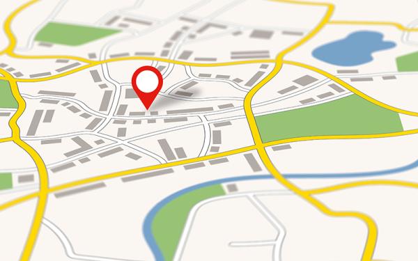
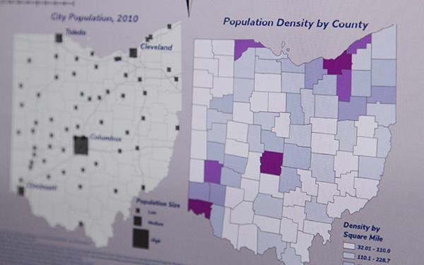
People intuitively understand maps. Trends and patterns become apparent when viewed on a map. Maps are necessary for solving spatial problems.
GIS refers to systems that help us create and understand maps and the data underlying those maps.
Ohio State University is designated as a Center for Academic Excellence in Geospatial Sciences by the National Geospatial-Intelligence Agency and is among the nation's premier institutions in the development of geospatial technologies.
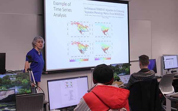
In studying GIS, you will learn the tools, methods, and software necessary for managing and analyzing geographic information.
You'll develop technical skills through coursework in surveying and measurements, technical mathematics, statistics, remote sensing, and graphics.
Below is a list of some of the issues and topics you'll study:
Issue Analysis
- Air pollution
- Poverty or unemployment
- Planning
Statistical Analysis
- Disease rates
- Elections
- Hazard incidents
Mapping Patterns
- Population change
- Migration
- Development
- Ocean currents
Location Optimization
- Facilities selection
- Mass transit routes
As a GIS student, you are pursuing an education that integrates data analytics, data visualization, and design skills.
According to the U.S. Bureau of Labor Statistics, median pay for data scientists is $103,500 per year and is the third fastest growing job sector for 2022-2032 (at 35%).
Cartographers and photogrammetrists earn $72,000 per year with a growth rate of 5%, which is faster than average across fields).
Possible Career Opportunities
- Geospatial Analyst or Consultant
- GIS Software Developer
- Market Researcher or Analyst
- Location/Site Selection Expert
- Business Analyst
- Mapping Technician
- Cartographer for Federal Agencies (USGS, NGA, USFS, etc.)
- Local Government GIS Analyst
Sources
Bureau of Labor Statistics, U.S. Department of Labor, Occupational Outlook Handbook, Data Scientists

Relevant Faculty


Relevant Faculty